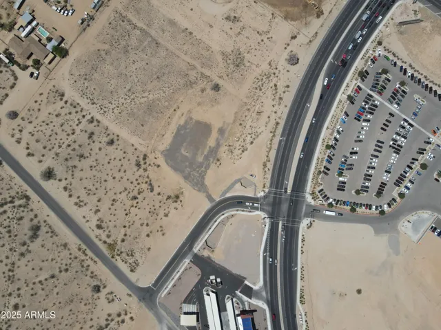
Please quote property referenceChandler Property Hub - 6560719
602.751.5843
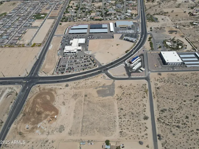
Please quote property referenceChandler Property Hub - 6560720
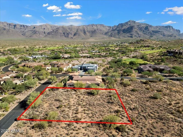
Please quote property referenceChandler Property Hub - 6797218
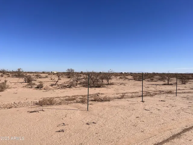
Please quote property referenceChandler Property Hub - 6781472
Please quote property referenceChandler Property Hub - 6794690
Please quote property referenceChandler Property Hub - 6783328
Please quote property referenceChandler Property Hub - 6809106
Please quote property referenceChandler Property Hub - 6682049
Please quote property referenceChandler Property Hub - 6809231
Please quote property referenceChandler Property Hub - 6809208
Compare listings
Please enter your username or email address. You will receive a link to create a new password via email.